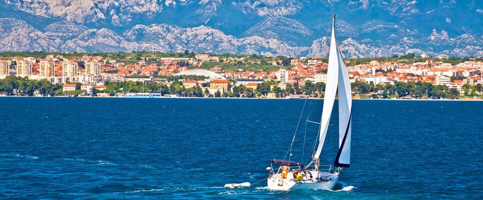
Winds of Adriatic
The weather conditions in the Adriatic Sea area can be rather unpredictable. Winds can literally change to opposite directions in minutes that’s why it is very important to check the weather forecasts before each trip.
Different types of wind that appear on Adriatic bring different problems, for both locals and sailors. Bura is cold, abrupt and dangerous wind, but it also brings clear weather and fresher air. This is why most people like it better than sirocco (jugo, SE wind) which brings “heavy” warm air and low air pressure that cause headaches, bad mood and similar problems, especially in Dalmatia.
We have prepared for you a small guide of most of the winds in the Adriatic.
NEVERA – NEVERIN /STORMY WIND blows from SW
This is a very dangerous wind caused by thermal storms racing from the open sea. Nevera does not last long, 1-2 hours, but is very powerful. It can be recognized by the arrival of very heavy clouds coming from SW to NW and by lightning, thunder and rain with strength up to 12 BO and variable Barometer. It mostly appears during summer, and as autumn approaches, its power even increases. Prior to their appearance, the sea is unusually calm, there is no wind or thunderstorms, until a few minutes before it strikes, you might feel a breeze. Nevera is a sudden, unexpected summer storm and next to Bura, it is the most dangerous wind, especially for smaller boats. As soon as you notice even the slightest indication, quickly seek shelter from this wind and cover because you have very little time. It would be best if you completely get out of its way. These storms have caught many boats off guard. Therefore it is extremely important to pay attention to weather changes and to the weather forecast, because you’ll find yourself in great danger if one of these storms catches you at the open sea.
BURA (GREGO): blows from NE direction
This wind arrives very fast and belongs to dangerous ones. Common in winter time. Last for couple of days. Sudden, dry, cold wind, strength up to 12BO. Anti-cyclone (without clouds and cyclone) with clouds-BURA. Sea level-low. Barometer pressure rising-high pressure.
BURIN: blows from land-sea direction
Strength 2-3Bo. Usually bring nice weather. During summer time blows usually during the night. Barometer-high pressure.
LEVANT: blows from East direction
Cyclone-wind with rain, strength up to 7BO. Barometer-variable (unstable)
JUGO-SIROKO: blows from SE direction
Cyclone-dangerous wind with rain, strength up to 12BO, lasts up to 3 days. Sea level-high. Barometer constantly dropping-pressure is low.
JUGO-OSTRO: blows from S direction
Wind without clouds, strength up to 6BO and most often blows during May and September (develops), last few days. Barometer is variable.
LEBIC (GARBIN): wblows from SW direction
Dangerous wind, develops fast, blows rarely, strength up to 12BO. Barometer pressure-low.
PULENAT: blows from West direction
Dangerous wind, develops fast, blows rarely. Strength up to 12 BO. Barometar pressure –low.
MAESTRAL: blows from NW direction
Specific for summer time usually in the afternoon, strength up to 6BO. On the open sea may produce quite big waves. Barometer-high pressure
TRAMUNTANA: blows from N direction
Quite unpleasant wind, strength up to 9BO. Barometer high pressure
INFORMATION ABOUT WEATHER ON THE ADRIATIC
Weather information for the territory of Croatian waters in Croatian, English, Italian and German are broadcasted constantly, every 10 minutes. The information is updated at 7 a.m., 1 p.m. and 7 p.m. local times. They briefly inform you on current weather situation and air preassure and give short forecast for the next 24 hours.
